Drone Photography in Colorado Springs - FAA Part 107 Certified
Drone photography has moved from luxury add-on to competitive necessity. In today's market, buyers expect aerial imagery, and sellers expect agents who deliver it. As an FAA Part 107 Certified Drone Pilot, AIR Photography provides professional, compliant, and fully insured aerial photography and videography for residential, luxury, and commercial properties across Colorado Springs and the greater Front Range.
Why Drone Photography Sells Listings Faster
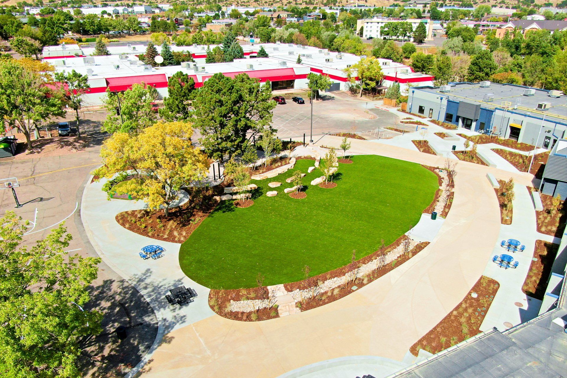
Standard photos show what's inside the home. Drone photography shows everything that surrounds it — neighborhood context, lot size, roof condition, proximity to parks, schools, and amenities. That's information buyers need, and it's information that drives decisions.
The numbers back it up:
| Metric | Impact of Drone Photography |
|---|---|
| Sales Speed | Listings with drone photos sell up to 68% faster on average |
| Online Engagement | Listings with aerial views receive up to 94% more views |
| Seller Preference | 83% of sellers prefer to list with an agent who uses drones |
| Perceived Value | Aerial imagery can increase perceived value by up to 10% |
Drone imagery is particularly effective at:
- Showing neighborhood context — parks, schools, commute routes, and nearby amenities
- Defining property boundaries and acreage — especially for rural or larger lots
- Documenting roof condition, solar panels, and skylights
- Capturing the full scope of outdoor living spaces, pools, and custom landscaping
- Highlighting proximity to natural features — mountain views, open space, and trails
When Drone Photography Is a Must-Have
While every listing benefits from aerial imagery, it's non-negotiable for:
- Luxury Homes — aerial photography captures grand scale, architecture, and curb appeal
- Mountain View & Waterfront Properties — prove the view, don't just describe it
- Ranches & Farms — show land contours, water features, and functional layout
- Rural Acreage — communicate scale and boundary lines that ground photos can't convey
- Development & Infill Land — show context and potential for builders and investors
- Custom Builds — document the setting and craftsmanship from every angle
Safety, Compliance & Why It Matters to You
Not all drone operators are equal and hiring an unlicensed pilot creates real liability exposure for agents and sellers.
Under FAA regulations, working with an unlicensed commercial drone operator can result in fines of $11,000 and more per occurrence. A risk that falls on the agent and the property owner, not just the pilot.
With AIR Photography, you're protected:
- FAA Part 107 Certified — licensed for commercial drone operations
- Fully Insured — liability coverage on every flight
- Experienced in regulated airspace — familiar with Colorado Springs airspace restrictions and waiver procedures
- State-of-the-art equipment — professional-grade drones and cameras built for real estate
We handle compliance so you can focus on your listing.
FAQs About Drone Photography
How much does drone photography cost in Colorado Springs?
Drone photography pricing in Colorado Springs typically ranges from about $150–$400 for basic photo-only sessions and $300–$1,000+ for photo + video packages, depending on location, airspace permissions, flight time, editing, and deliverables (MLS-ready photos, 4K video, panoramas). Real estate listings often fall in the mid-range, while commercial/marketing shoots with advanced editing and multiple locations cost more.
Do I need permission or a license for drone photography in Colorado Springs?
Commercial drone work requires an FAA Part 107 certified pilot. Flights must follow FAA rules (altitude limits, visual line of sight, no flying over people in many cases) and may require airspace authorization near Colorado Springs Airport, Fort Carson, or other controlled/restricted areas. You’ll also need property owner permission to take off/land on private property and follow local park/open-space rules.
What’s included in a professional drone photography package for real estate?
Most real estate drone packages include a short on-site flight, multiple aerial still photos (often HDR), basic color correction, and web/MLS-friendly delivery. Many also include a 15–60 second aerial video highlight (often 4K), neighborhood/context shots, and optional add-ons like vertical social clips, twilight edits, property boundary overlays, or advanced video editing with titles and music. Turnaround is commonly 24–72 hours.
Add Aerial Photography to Your Next Listing
Give buyers the perspective they expect — and give your listing the competitive edge it needs. Drone services can be added to any photography package or booked as a standalone shoot.